Precision Geospatial Solutions
Delivered Successfully
Explore our portfolio of completed projects showcasing our expertise in land surveying, GIS solutions, and infrastructure development across Tanzania.
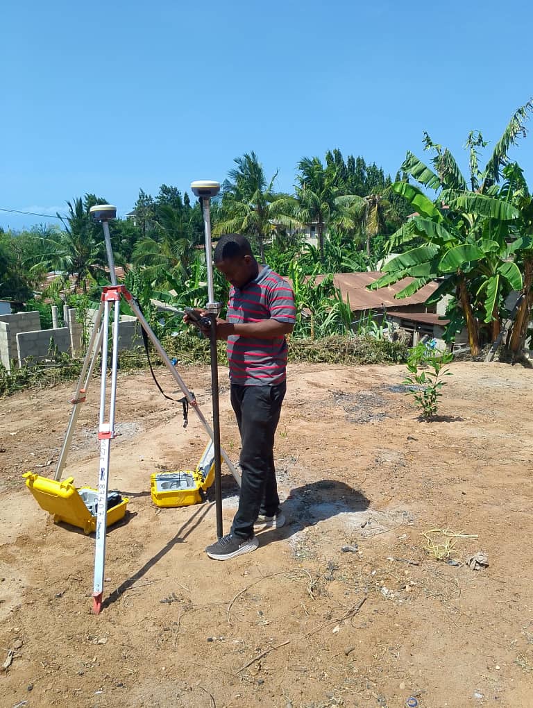
Cadastral Survey - Mwanza Region
Comprehensive cadastral surveying for 500+ parcels in the Mwanza region, supporting land registration and title documentation.

Infrastructure Survey - Highway Project
Topographic and engineering surveys for a major highway construction project, including setting out and progress monitoring.

Aerial Mapping - Agricultural Zone
Large-scale aerial mapping using UAV technology for agricultural land assessment and planning purposes.
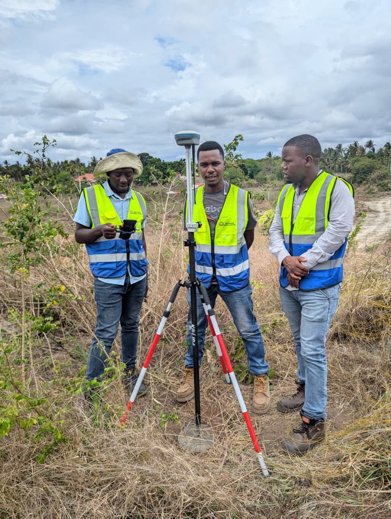
GIS Database Development
Development of comprehensive GIS database for land management and spatial analysis for a government agency.
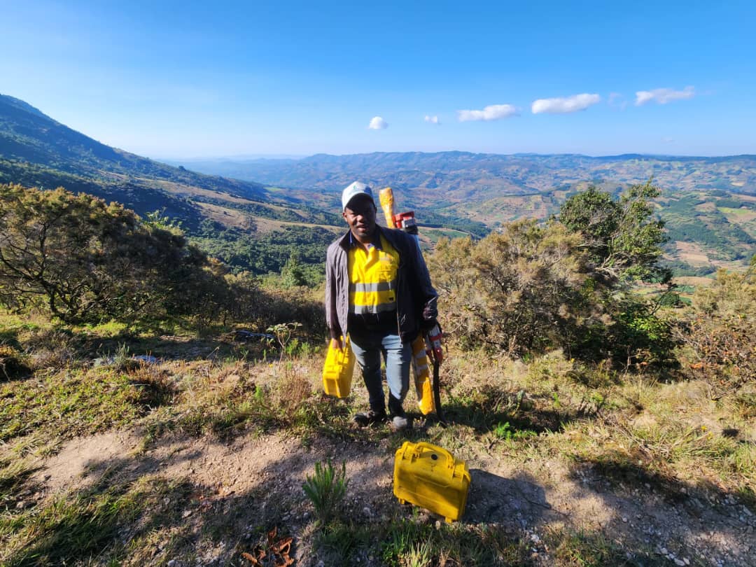
Mining Survey - Exploration Project
Detailed surveying services for mineral exploration including topographic mapping and volumetric analysis.
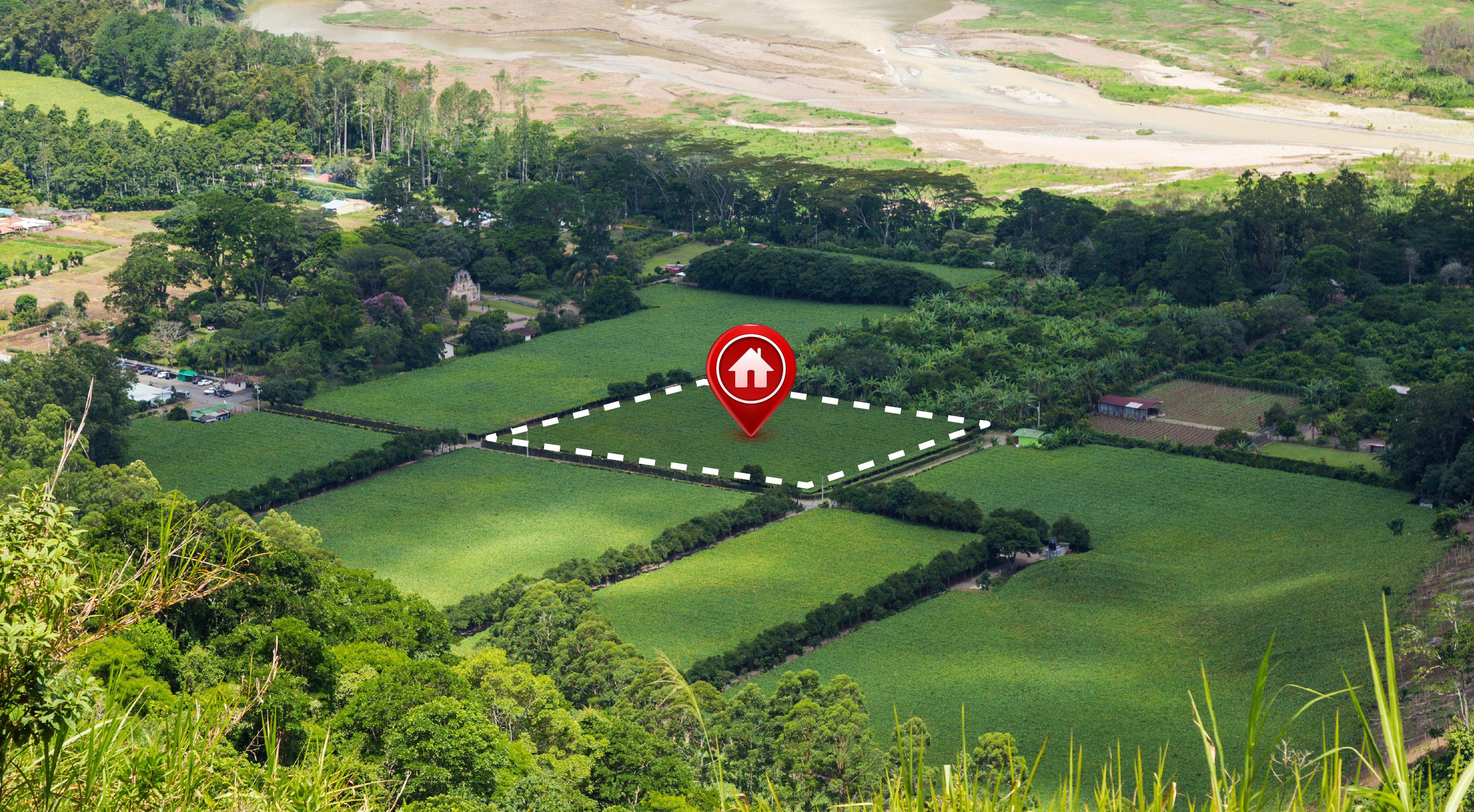
Urban Planning Survey
Comprehensive survey work supporting urban development planning including boundary surveys and infrastructure mapping.
Have a Project in Mind?
Let's discuss how our expertise can help bring your project to life. Contact us today for a consultation.
Start Your Project