
About Us

Shaping the Future with
Precision and Innovation.
At the core of our services is a dedication to delivering accurate land surveying and GIS solutions using advanced geospatial technology for efficient and sustainable development.
Empowering sustainable
Growth in Surveying
We deliver geospatial solutions with precision, innovation, and environmental responsibility, ensuring sustainable development in land and infrastructure projects.
To provide the quality service to our clients with the very best and reliable solutions to meet their needs and expectations through intelligent application of technology and best advice.

Core strengths in
Geospatial and
Engineering Survey
Our expertise in geospatial technology, modern surveying, and GIS solutions ensures precise, data-driven insights for efficient land mapping, surveying, and civil engineering development.
Exceptional Service
We are dedicated to delivering top-tier services marked by quality, efficiency, and timeliness.
Customer Support
We strive to excel by prioritizing your needs and satisfaction, with a well-organized warehouse and timely product deliveries.
Dedication
Land Compact is devoted to exceeding and fulfilling customer expectations.
Streamlined processes for
optimal efficiency
Our process prioritizes efficiency and precision at every stage. Using advanced technology and best practices, we ensure seamless and accurate workflows.

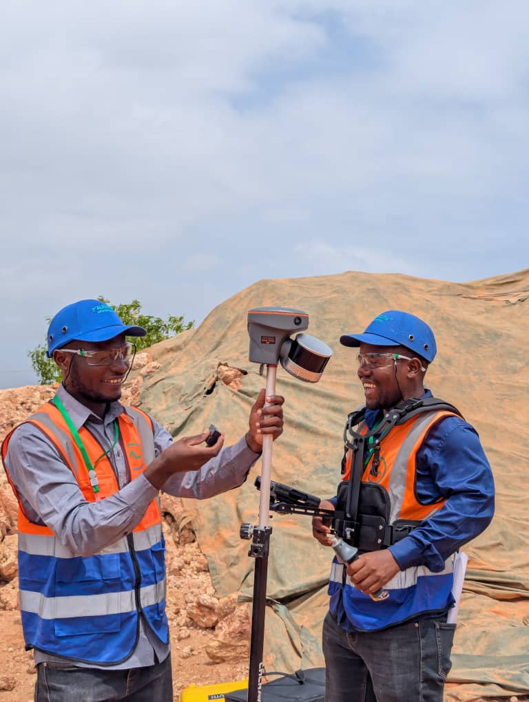
Assessment & Data Collection
We assess client needs, evaluate sites, and gather geospatial data using advanced techniques.
Surveying & Analysis
Using GPS, UAVs, and GIS, we capture, process, and analyze precise mapping data.
Implementation & Delivery
We integrate survey results into infrastructure, land management, and development projects.